
Glen Alpine Trail Hike
3 Lakes, 2 Ponds, A Peak (almost) and SNOW!!
South Lake Tahoe
Trailhead at 6500 ft
Dick's Peak and Jack's Peak were on the short list of places to visit next, so we made a plan to go when we found out Chris wasn't working on Sunday. The weather has been unsettled and calling for very cold temps, high winds and possible snow. Oh fun!
The plan was for a 12-13 mile hike and two peaks. Chris' plan involved a counter-clockwise approach. First being on the PCT, hitting the top of Dick's Peak, then over the saddle to Jack's and bushwhacking down to find the trail from Aloha and back out, making a loop. During our planning and map printing the night before, I suggested we change the route to a "clockwise" approach so we bushwhack first and get the hard stuff out of the way on the front side, then end with a leisurely 5 mile stroll down the PCT back to the trailhead.
He agreed with this strategy, I didn't even twist his arm ;-)
He will reconsider that next time... You'll see why later...
The forecast was easing up a bit and the wet stuff wasn't supposed to hit until the afternoon, so we planned to set out early. The alarm went off at 4:30 and after a slow start and accidentally hitting off instead of snooze, we were on the road by 6.

We decided to enter in from Fallen Leaf Road which is off of Highway 50, directly across from the Tallac Historic Site. Just a mile or two North of Camp Richardson.

After a few short miles, the road narrows and becomes a single lane.

The trailhead is mapped, so you can follow Google Maps, always a plus!

Trailhead coordinates.
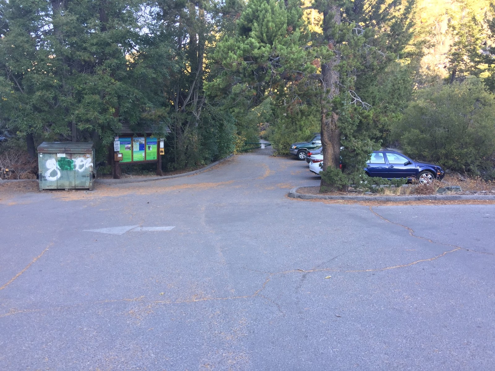
Trailhead! Plenty of parking. There were several cars in the parking lot that had been broken into with their windows smashed, so be mindful not to leave anything in your car...
Here you'll need to get a permit as you'll be heading into desolation if you travel very far down this trail.

Who's ready to hit the trail? This guy!!

Trailhead/Selfie = Trailfie!

The trail is very well maintained and there is plenty of signage. The arrow on the tree is nicely pointing to the trail... Thanks...

Several markers along the route and lots of different options.
We are heading towards Susie Lake.

Gorgeous day. Bad Weather? What?

My favorite sign... Heading into Desolation.

The trail is rocky and definitely uphill in spots, but the rock stairs make it a little easier.

And here's where the day changed... We could turn right and go counter-clockwise (Chris's original plan) or head left and go clockwise (my plan)
We chose left.
Now we know that next time, we will choose RIGHT!
And I may not get a say the next time he plans a route...
More on this as the trip goes on...

The views and the weather are really cooperating. It's very windy, but the sun is shining and the sky is a brilliant blue. You wouldn't really know what's going to hit later today.

We reach Susie Lake. Very pretty and VERY windy. A few quick pics and we kept moving, the wind was coming right at us. I don't like wind...

Fall colors abound!

Definitely more rocky. You know you're in desolation.

After a couple of miles, we see Heather Lake. It's a gorgeous lake. We are leaving a very pretty area with fall colors and heading into the stone village of desolation. The peaks ahead on the right are what we think are Jack's and Dick's Peaks. NOPE. That's Jack to the far right and a false peak out in the front. The look harmless enough, right?

The trail progresses along the lake.

It's definitely looking like Fall in this area. We thought about approaching the peaks from here, but decided to venture a little further ahead near Aloha to see what we could see.

The backside of this marker says Mosquito Pass. It's heading in the direction we want to go, so we turned here. Still trying to figure out the best way up. Typically if we want to go up, then I just go up! Well, this is a rocky mountain with some sheer cliffs, so we have to approach it carefully.

We are headed up there. Looks doable from here, right?

Of course it does. So we start heading up!

A where's Waldo moment. Can you see me?

It's rocky, but doable at this point. Steep, but plenty of handholds.

Looking back down on Lake Aloha. It's such a different lake. Almost prehistoric looking. You can't see the system coming in here, but looking at the ripples in the water will tell you that the wind is whipping and the clouds are rolling in quickly. Things are changing rather quickly.

We keep pressing on up the hill and making good progress.

We are presented with a few areas like this. Cliffs. Ummm, can't go that way...

Looking back down at Heather Lake, Cracked Crag and 2 ponds.

We climb higher and get to this point. Chris is in this pic, but hard to see. He's at the top, left of center. Trying to figure out if we can get any higher without falling off of this thing. Ultimately, the answer was NO. It's a good thing. I was pretty much done. Starting to feel like this route is not passable and getting too dangerous and the weather was changing quickly. We decided to make a quick descent down. It was a good decision. So, the loop in this direction is a No-Go...

On the way out, Chris wanted to explore one of the other alternatives for heading up there. There is a drainage that heads up to the ridgeline and from there, we should be able to traverse over to the peak. We ended up going quite a ways up there and it does look doable. It's certainly a better option than heading up the cliffside of the rock...
We will save further exploration for another day. It's getting colder and colder. Time to pick up the pace back to the trailhead!

This weird white stuff starting falling from the sky... SNOW!

It's so windy, that's it's snowing sideways! Brrrrrrrrrrr...

And there is enough of it, that's it starting to stick.

There's quite a bit of snow all around us and starting to collect on our packs too.
VERY COOL!

We are cold and ready to get in the warm car, but we made it back to the trailhead. WHEW!
Now to find a Starbuck's for a warm drink!

The snow was letting up, but there was enough to put a pretty dusting of white on everything on the drive out. What a pretty day. The snow just added to the adventure! We will be back here again to finish this one. Probably in a counter-clockwise fashion...

Our tracks as recorded on Strava. I started Strava late, but both Strava and my Garmin watch recorded just over 13 miles.

Elevation gain. Started at 6,500 and topped out just under 8,500ft.
Comments
Post a Comment