
Ralston Peak
Twin Bridges, CA
Desolation Wilderness

Trailhead marker. Grab a permit and you're good to go into desolation wilderness for the day. Overnight permits are required if you're staying the night and can be reserved online, but day hikes are always obtainable at the trailhead.

I always print a map to have on hand in case electronics fail me. This is the plan for the day. Heading out from the trailhead, which is just across Highway 50 from Camp Sacramento and up to the loop at the peak.

This was a solo hike today, Chris was unable to get the time off of work. So off I go alone. But wait!
Just as I was leaving the trailhead, another solo hiker (Kenny) was walking up to also fill out a permit. Upon chatting for a moment, we were both heading to the peak and decided to head out on the trail together. I told him that if he wanted at any point to just go off on his own, walk faster, walk slower, whatever, I was ok splitting up. Except for a short time for a snack break and a little reflection, we pretty much stayed on the trail together all day. It was nice to have the company and we talked a lot about backpacking ideas, useful iPhone apps for navigation, family, etc.
You just never know who you'll meet out on the mountain.

It didn't take long before there were patches of snow on the trail. Not time for crampons yet, but I imagine that won't be too far up the trail.
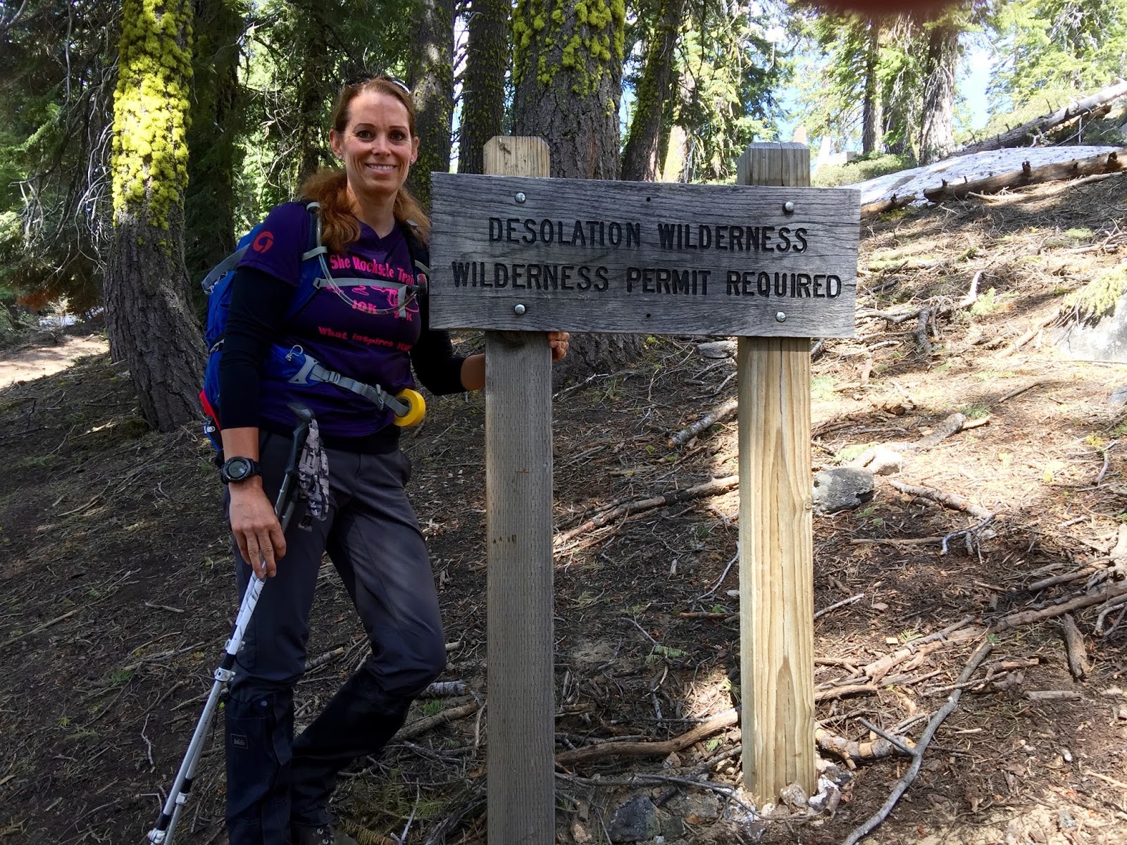
I always take a pic by this sign. Love entering desolation wilderness. time to play!

More snow and mud and streams of melting snow.

And yes, more snow.

The views are starting to get better and better...


Kenny and I decided to part ways for a bit to have a snack and take in the views. We may meet back up on the trail or at the peak.

I think it might be time for some crampons. I also brought my snowshoes. Not sure which I would need, but will start with crampons. Chris just got these for me and it's the first time using them. I think this is the perfect application for them since snowshoes seem like a little overkill for the conditions.

They fit right over my boot and the spikes are about 1/2". Super easy to take on/off and so far, it's just what I need to stop slipping on the snow.

Since I'm stopped for crampons, might as well have a snack! An apple was just what I needed. Mmmmmm

I'm off on my own trying to stay on trail, but with snow like this it's a challenge at times. Thankfully my new toy, the View Ranger app was awesome and I was able to check it and stay right on course!! Love that app!! I also started putting trail tape on tree branches so the way out was a sure thing. I picked it up on the way out.

We met back up on the trail and kept heading up towards the peak.

There were multiple spots of snow bridges and running water from all the melting snow.

Looking up towards the peak. You can't see it yet, but it's just over the crest.

Loving the view!

First lovely view of Pyramid Peak in the background. You can also see the grade that I'm standing on. This section is very steep heading up towards the peak, but we are getting there!


This is a track I made on View Ranger. It shows us right on track for the peak!

My least favorite part of the day, the rocks. Thankfully these are only a short jaunt to the peak. We skirt around the bottom of this and head up to the peak from the side.

The actual peak!

The peak itself is somewhat lackluster, but the views are amazing!!


Echo Lakes

Lake Tahoe in the background


Ahhhhh... Kicking back and enjoying a turkey sandwich and this incredible view.

Signed the peak log and added a little decor to the cache box. :-)


This little guy was looking for some crumbs. Sorry buddy, nothing today....
He had some weird growths in his ears, so I wanted to keep him at a distance.

Heading back down. It was a slippery slope, literally. I lost traction as we left the peak and just slid down for a ways. At least the snow is very soft and if I really needed to stop sliding I could have, but it was kind of fun. Weeeeeee!!
The trail crampons were great for most of what we did today, but longer spikes would be awesome! I think we need to pick those up for our next couple of planned adventures in the snow.

Slippery bits of snow, then bits of trail would pop out.
It was a nice way to confirm we were still on trail.

A great day. We are getting close to the trailhead now. It was nice to make a new friend on the trail. Had a great day getting to the peak and enjoying the views. Only downside..... forgot the sunscreen. Ugh. Now to nurse a bad sunburn on my face and eyelids. When will I learn? Hopefully soon...

My tracks and elevation gain from Strava for iPhone. This is the first time I have successfully gone up and down without getting off track. I usually have some areas of separation on my tracks. The snow made it a little easier to find are entry back into the trees. This is where most people get off track. After leaving the peak, desolation makes it hard to see a distinct trail, so you miss your original exit point from the tree line.
Already looking forward to our next adventure this weekend. Backpacking and camping at Mount Tallac!! I guess Mount Whitney training has begun!
Now, go and get gone!
Comments
Post a Comment